 Rampant Scotland Directory!

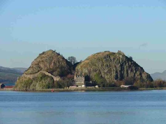
This slide show (thumbnails and larger versions) of 100 pictures of tourist attractions in East and West Dunbartonshire. Note that these administrative regions are named after the town of Dumbarton - which has a slightly different spelling, originally derived from "Dùn Breatainn" meaning "fort of the Britons". East and West Dunbartonshire lie to the north and west of Glasgow, to the north of the river Clyde.
Note that once you are viewing the larger images you can move to the next or previous image using the navigation controls instead of having to return to the thumbnail index.
Where else would you like to go in Scotland?
|
Accommodation
|
Government
|
Scottie's Diary 
Scottish Newsletter 
News & Views 
Memory Lane 
All Features Index Bookstore Castle Photo Library Clan/Family Histories Castles To Stay In Desktop Graphics Did You Know? Edinburgh Photos Family Tree Research Famous Scots Famous Scots Quiz Feedback/Contact Flowers of Scotland Glasgow Photo Library Great Places to Stay Great Places to Eat Haunted Castles History Quiz History Timeline Humour/Humor Inventions & Discoveries Limericks Monarchs of Scotland Parliamo Scots |
Scottish Pictorial Calendar Scotland in Colour - Places to Visit
 |

